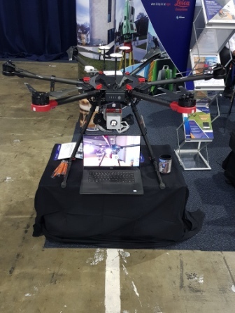
Queensland is currently leading the way nationally in drone technology and application, with the industry growing and developing rapidly. AARC recently had the opportunity to attend the 2018 World of Drones Congress held at the Brisbane Convention and Exhibition Centre. By attending we were able to witness the latest in drone an aerial surveying technology first-hand, listen to some of the world’s leading drone experts, and network with spatial industry professionals.
The potential for drone technology to be incorporated into environmental monitoring and resource activities is widespread. Potential applications within the industry range from simply photographic aerial inspections and surveys of vegetation, to creating Digital Elevation Models (DEMs) to quantify and monitor the extent of erosion on mine-site rehabilitation, to assembling full 3-D models of a mine site’s disturbance footprint.
As part of AARC’s commitment to innovation and technological advancement within the resources sector, we have implemented drone and aerial surveying technology to improve our environmental services to clients.
For further information contact Travis Ittensohn at AARC (07 32178772).

